Engineering and Construction
Cautus Geo AS delivers automatic surveying systems for construction projects where there are issues related to deformation, stability, settlement, groundwater, environmental management or pollution.
StructuralStructural
Physical stresses and long-term climatic factors can affect the integrity of many types of structures as they age. Cautus Geo can deliver structural health monitoring systems that continuously monitor and warn against any changes that may put the structure at risk.
Environment, Climate and WaterEnvironment, Climate and Water
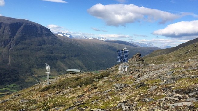
Environmental monitoring systems can be an important tool for oversight and early warning for potentially hazardous conditions. A wide range of available sensors can relay precise measurements on weather conditions, water quality parameters and virtually any type of remote environmental monitoring application.
Energy and IndustryEnergy and Industry
Power and Energy is a huge market with a great need for geomonitoring. Many structures and facilities including dams and offshore rigs are affected by extreme stress and strain forces. It is useful to monitor such forces as well as the resulting effects to ensure safety and adequate long-term performance of the structure.
Geohazard and EnvironmentGeohazard and Environment
Avalanches and landslides are a growing problem and pose a threat to people, infrastructure and constructions. An alternative to physical protection of hazardous areas is to map, monitor and provide alerts before critical events occur.
Snow and AvalancheSnow and Avalanche
Being in a Nordic, mountainous region means dealing with snow for several months of the year and a high potential for avalanches in many locations. Cautus Geo supplies systems both for measuring the overall snow depth in an area as well as detecting avalanche activity.
Oil & gasOil & gas
Offshore structures are constantly subjected to extreme forces from ocean currents and potentially severe weather conditions. Ensuring safe working conditions on such structures starts with confirming that the structure itself is secure.
Transportation & InfrastructureTransportation & Infrastructure
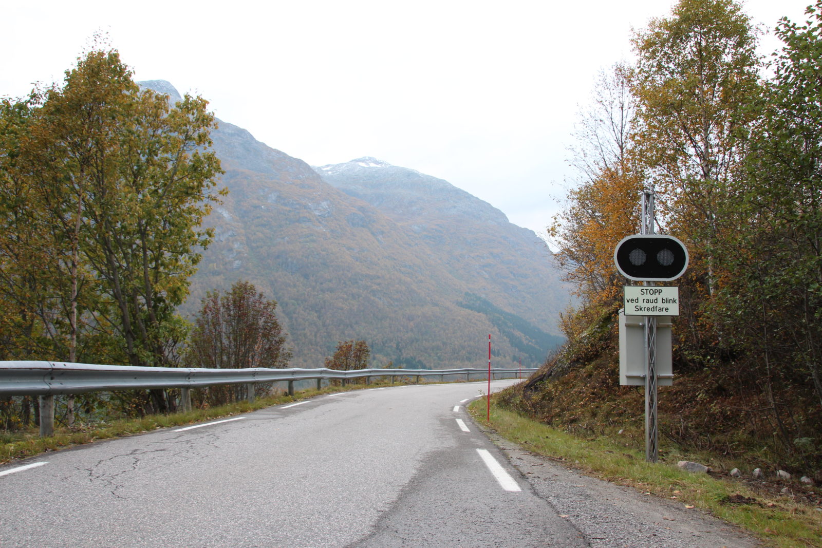
Cautus Geo delivers mapping and monitoring solutions for potential natural hazards and vulnerable structures associated with rail and roadways.
Learn more about our 8 areas of geomonitoring
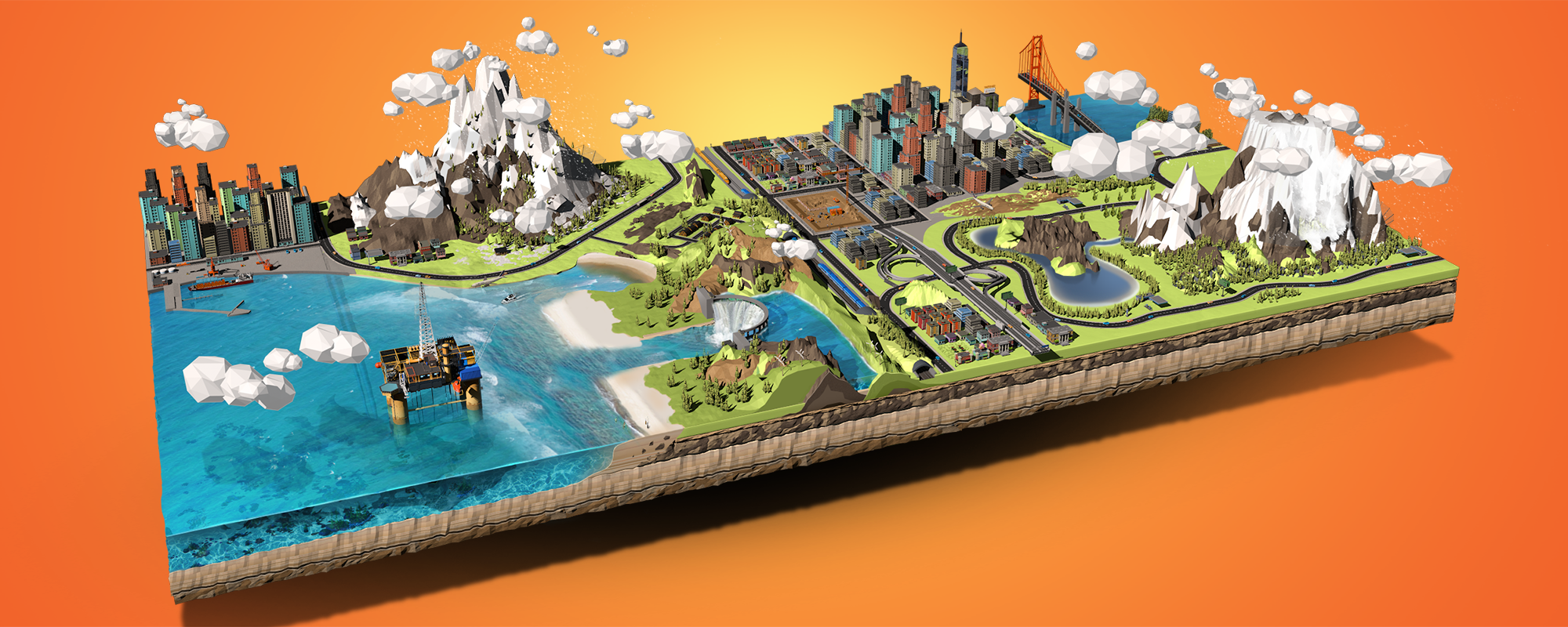
Shown below are the primary market areas for which Cautus Geo supplies solutions. There are many examples within each segment for the use of geo-monitoring systems.
Cautus Geo
celebrates its
10th anniversary!
What we do
Mapping, measurement and analysis
We offer a unique combination of different measurement systems, experience and compentancy with measurement technology for the markets we work within. We have some of the best solutions and equipment for remote mapping including laser scanners, camera solutions, photogrammetry and radar.
Instrumentation and monitoring
Our extensive experience allows us to assist with instrument selection and system design based on the type of project, measurement criteria, and requirements of the end user.
Operations and maintenance
Once all systems are installed, projects normally enter the operations and maintenance phase. At this phase of the project, Cautus Geo is able to monitor to ensure that all devices continue to work properly and that the data collected is as high quality as possible.
Consulting Services
Our staff has a wide range of specialization in various geoscientific areas, measurement systems and IT, which allows us provide assistance on many different types of projects.
Software Development
We have developed our own web data management solution, Cautus Web, which accepts data from nearly any sensor type. Cautus Geo has also been involved with development of web modules for one of the leading companies in the field of positioning equipment, Trimble.
Research and development
We participate in research projects to develop new technologies to improve on existing methods of monitoring and collecting data.
We are always on the move and shoot pictures where we work
Geo Monitoring
Cautus Geo AS specializes in solutions for geo- monitoring, automatic monitoring of stability, deformation and the environment.
We aim to be a leading and innovative provider of effective and secure solutions for geo- monitoring and automatic measurement systems for land, water and vulnerable structures.
An important part of our approach is to be able to connect reason factors and events together for common analysis and development of predictive models in real time. By combining several types of sensors in an integrated solution, we can distinguish unnatural events from normal trends.
Why automatic monitoring?
Automatic solutions for monitoring stability, deformation and environment can:
News

Atle Gerhardsen was interviewed by The Nation and says that there are much more affordable options for avalanche prevention in Geiranger than building a tunnel, which is estimated to cost 892 million NOK
There is a lot of money to be saved on the Geiranger tunnel. The tunnel can be exchanged for a system for warning and controlled blasting for snow removal. In this case, the price tag would be reduced by several hundred million kroner, according to an article in The Nation. The newspaper The Nation is…

Kåfjord Municipality and Gámanjunni
Cautus Geo has delivered the GNSS network used by NVE (Norwegian Water Resources and Energy Directorate) to monitor the particularly rockslide-prone area Gámanjunni in Kåfjord municipality in northern Troms county. Gámanjunni will bury large parts og Manndalen below if a rockslide occurs and put the nearby residents at risk. Gámanjunni is one of the most…

Video: Real-time monitoring of Joasetbergi
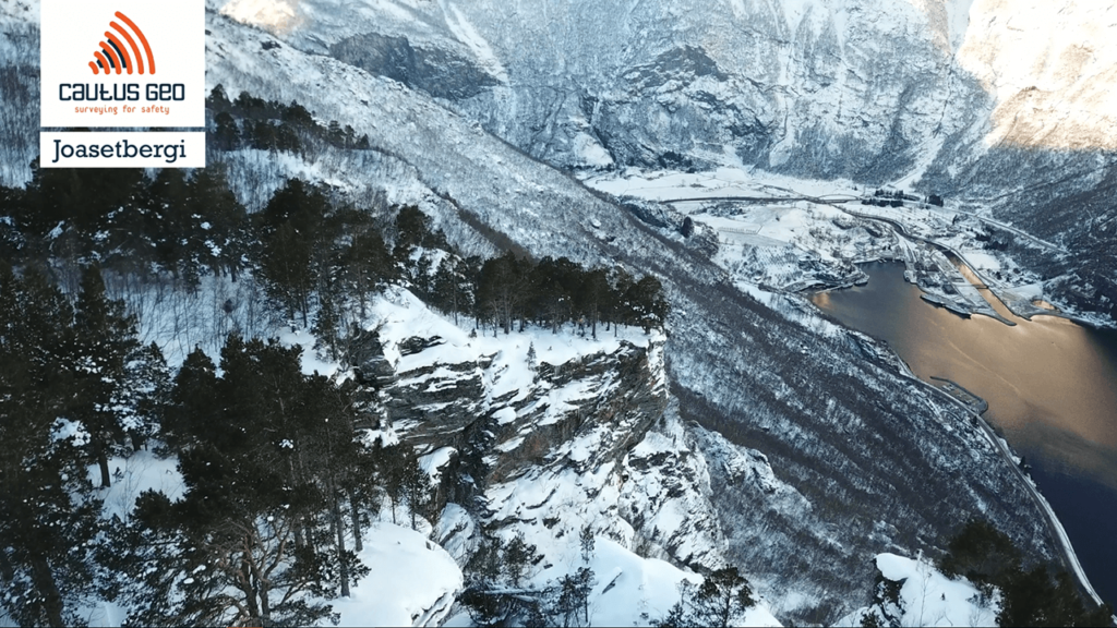
Cautus Geo has established an automatic monitoring system at Joasetbergi. Joasetbergi is a part of the unstable mountain area Stampa in Sogn og Fjordane county. It is located 800m up the mountainside east of the town of Flåm at the end of Aurlandsfjorden, 125 km east of Bergen. Stampa is one of the largest unstable…
This message is only visible to admins:
Problem displaying Facebook posts.
Type: OAuthException
Code: 190
Subcode: 492
Click here to Troubleshoot.